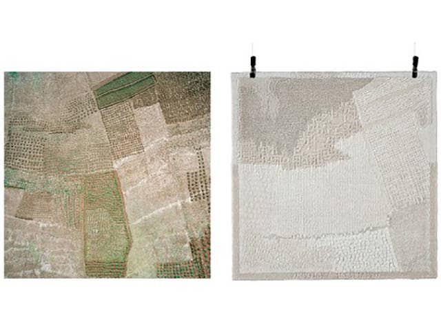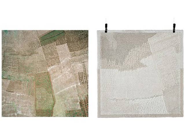
The latest project to take digital art from the web to real life is Consider This Landscape A Territory, a venture that turns images from Google Earth into tactile area rugs.
Here’s how it works: each rug’s source photo is taken directly from images of the areas in which the craftspeople who will make it live. Based on those images, they use natural materials like undyed silk, wool, and jute, all locally sourced, to create the carpets using weaving and knotting techniques. Each one-meter-by-one-meter rug comes out of months of research about the area’s landscape and craftspeople.
The project "forms a direct connection between modern day Google Earth technology, local natural resources, and cultural heritage,” says the effort’s creator, Dutch designer Roosmarijn Pallandt.
[via Gizmodo]

