

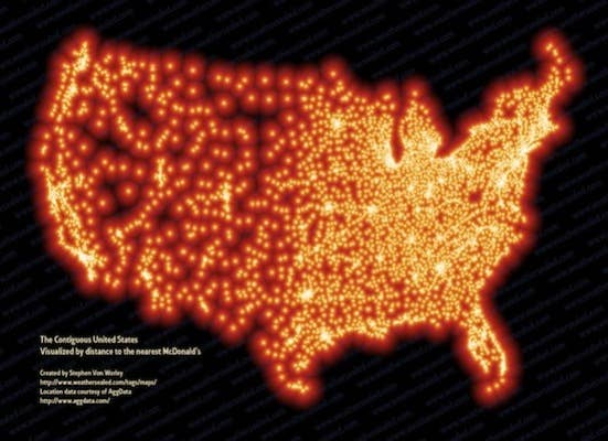
McDonald's is everywhere, but have you ever tried to vizualize its dominance? Scientist extraordinaire Stephen von Worley did by creating this map of the United States, coded by the distance between the powerhouse across the country. It pretty much blankets half of the U.S., and despite tapering off in the middle of the country, it's pretty clear that the golden arches are firmly planted across most of the nation.
[via Grist]
Follow @ComplexGuide.